
echolocation
8 pigmented inkjet prints 81,1 x 56,4 cm each
Hahnemüle White Velvet paper
2016
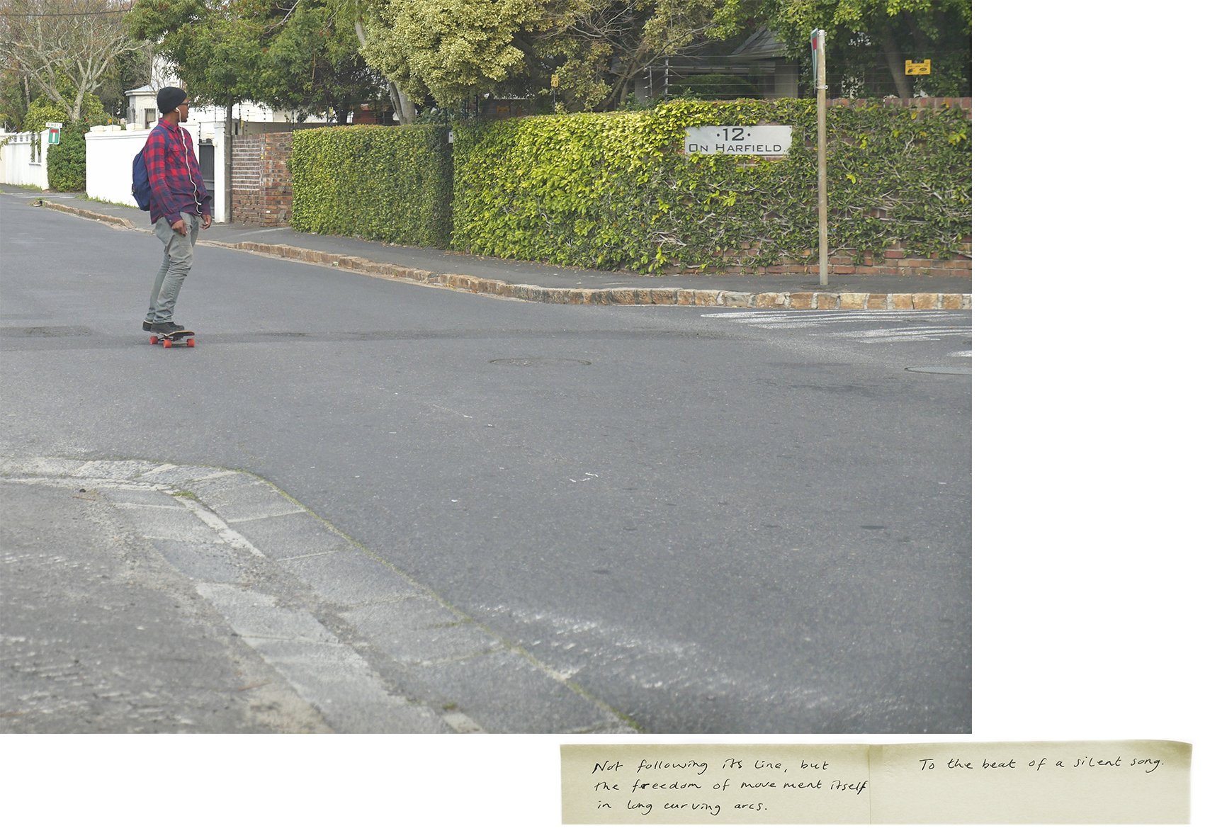
A hedge of indigenous wild almond trees was planted in 1659 by Jan van Riebeeck, VOC employee and the Dutch Commander of the Cape, South Africa from 1652 to 1662. Together with a 16 km construction of wooden fence and watchtowers it formed the 25 km long eastern boundary of the Dutch colonial settlement that ran from the mouth of the Salt River through Rondebosch to Kirstenbosch in what is now Cape Town.
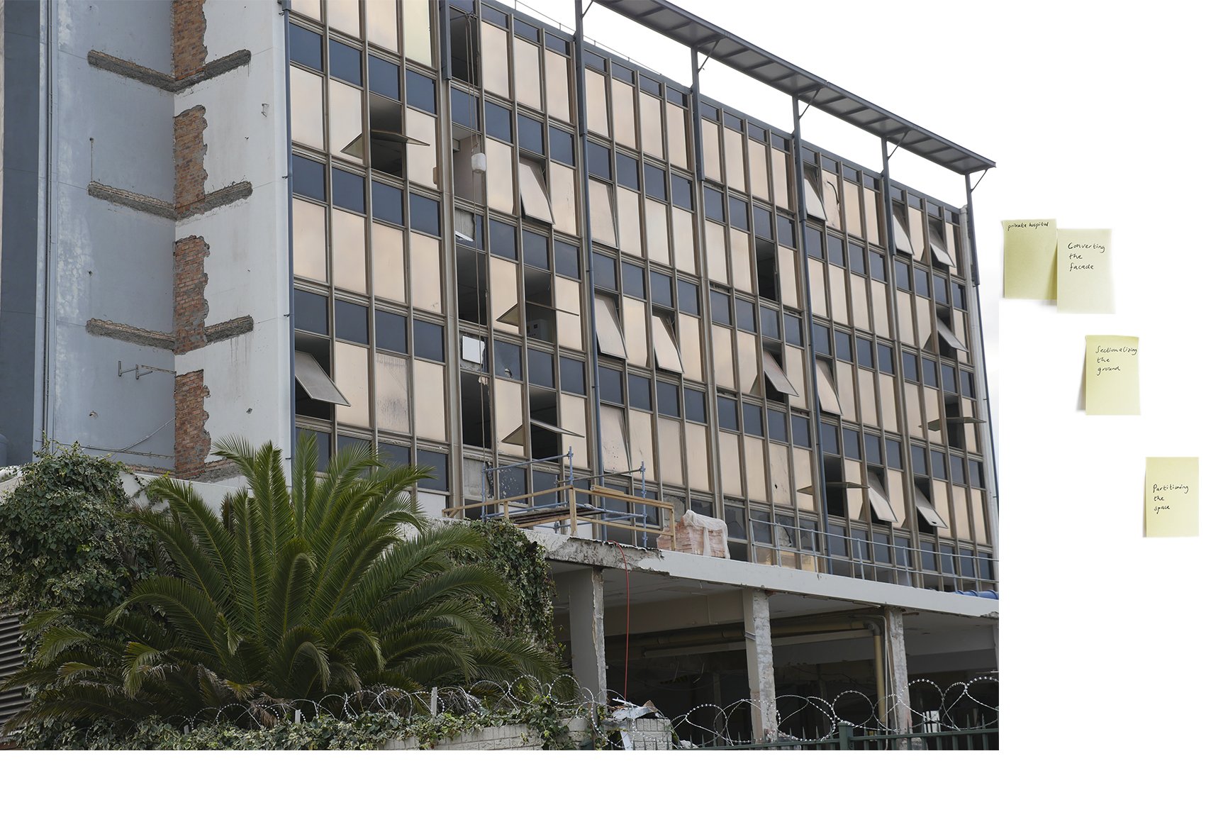
The photo collage series Echolocation traces the geographical locations where the barrier used to run through the urban landscape of contemporary Cape Town. One-ways, highways and railways, restricted (military, hospital, astronomical, private) areas and public parks where photographed. Each place is an echo of the lineage of the hedge in the form of constructed barriers, restricted movement and preconceived ways of looking at one another. At all times past and present intertwine. The personal memories that the places trigger and their historical references are scribbled on layers of yellow ‘post-it’ notes. The photos are presented in order of distance of the hedge, representing the following places and roads:
1,50 km Ysterplaat Railway station, 3,24 km Observatory Road, 3,46 km Liesbeek Parkway, 4,79 km Lancaster Road, 7,66 km Oakhurst Avenue, 10,44 km Harfield Road, 10,58 km Main Road and 17,86 km Klaassens Road.


The installation of Echolocation during the exhibition Re(as)sitting Narratives (2016), at Framer Framed, Amsterdam, curated by Chandra Frank.
Photo credit Laura E. Tompa